
How to Plan Cycling Routes in Google Maps: A Practical Guide
Cycling Route Planner & Estimator
Use this tool to estimate your ride metrics before you hit the road. It simulates how Google Maps calculates routes for cyclists, accounting for terrain and rider type.
Route Details
Estimated Time
Difficulty Assessment
Enter details to see analysis.
Enter your route details above to calculate estimated time and difficulty.
You’ve got your helmet on, the tires are pumped, and you’re ready to ride. But staring at a blank map screen can be just as paralyzing as a flat tire. You want a safe path, not a shortcut through heavy traffic or a steep hill that breaks your legs before breakfast. That’s where Google Maps comes in handy, but only if you know how to use its specific features for cyclists.
Most people treat Google Maps like a car navigator. They type an address, hit "Go," and hope for the best. For cycling, this is a mistake. The default settings often prioritize speed over safety, sending you down fast roads with no shoulders or through roundabouts that feel like death traps on two wheels. This guide cuts through the noise. We’ll look at exactly how to set up your route, interpret the data, and avoid the common pitfalls that catch out even experienced riders in cities like Bristol.
Setting Up Your Cycling Preferences
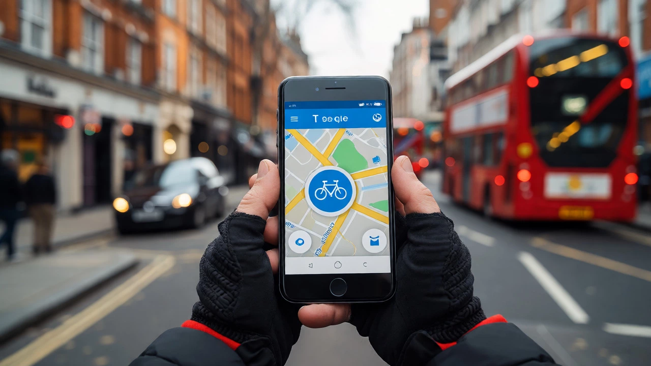
The first step isn’t typing in your destination; it’s telling Google what you are doing. Open the app and tap the profile icon or the search bar to start a new query. Before you enter locations, look for the transport mode icons above the search field. You need to select the bicycle icon. If you don’t see it immediately, swipe left on the row of icons until you find it.
Once you select cycling, the interface changes subtly but significantly. Instead of showing highway speeds, it calculates time based on average cycling paces, which vary by terrain. In the UK, the standard estimate assumes a moderate pace, roughly 15-18 km/h (9-11 mph) on flat ground. If you’re a commuter on a hybrid bike versus a racer on a road bike, this baseline might not match your reality. However, it provides a solid starting point for judging distance and effort.
| Feature | Cycling Mode | Driving Mode | Walking Mode |
|---|---|---|---|
| Primary Route Logic | Safety & Bike Lanes | Speed & Traffic Flow | Pedestrian Paths |
| Highway Usage | Avoids Motorways | Prefers Highways | N/A |
| Turn Restrictions | Bike Legal Turns | Car Legal Turns | Pedestrian Access |
| Elevation Data | Visible Profile | Hidden | Visible Profile |
Interpreting Route Options and Layers
After entering your start and end points, Google usually presents multiple routes. Don’t just click the top one. Look closely at the labels. You might see "Recommended," "Shortest," or "Less Traffic." For cyclists, "Shortest" is often a trap. It might cut across a busy dual carriageway to save 200 meters. "Recommended" is safer, but you still need to verify it.
To get real insight, switch on the map layers. Tap the layers icon (usually a diamond shape or stack of papers) in the top right corner. Select "Traffic" to see congestion levels. As a cyclist, you don’t care about cars being slow; you care about cars moving fast around you. Heavy green traffic means low risk. Red traffic means cars are stopped, which sounds good, but it also means intersections are chaotic. Better yet, enable "Bike Lanes" if available in your area. This highlights dedicated infrastructure, which is crucial for confidence.
In many UK cities, including London and Manchester, bike lane data is improving, but it’s not perfect. Rural areas often lack this data entirely. If you don’t see blue lines indicating lanes, assume you’re sharing the road. This requires different riding strategies, such as taking the lane rather than hugging the gutter.
Analyzing Elevation and Terrain
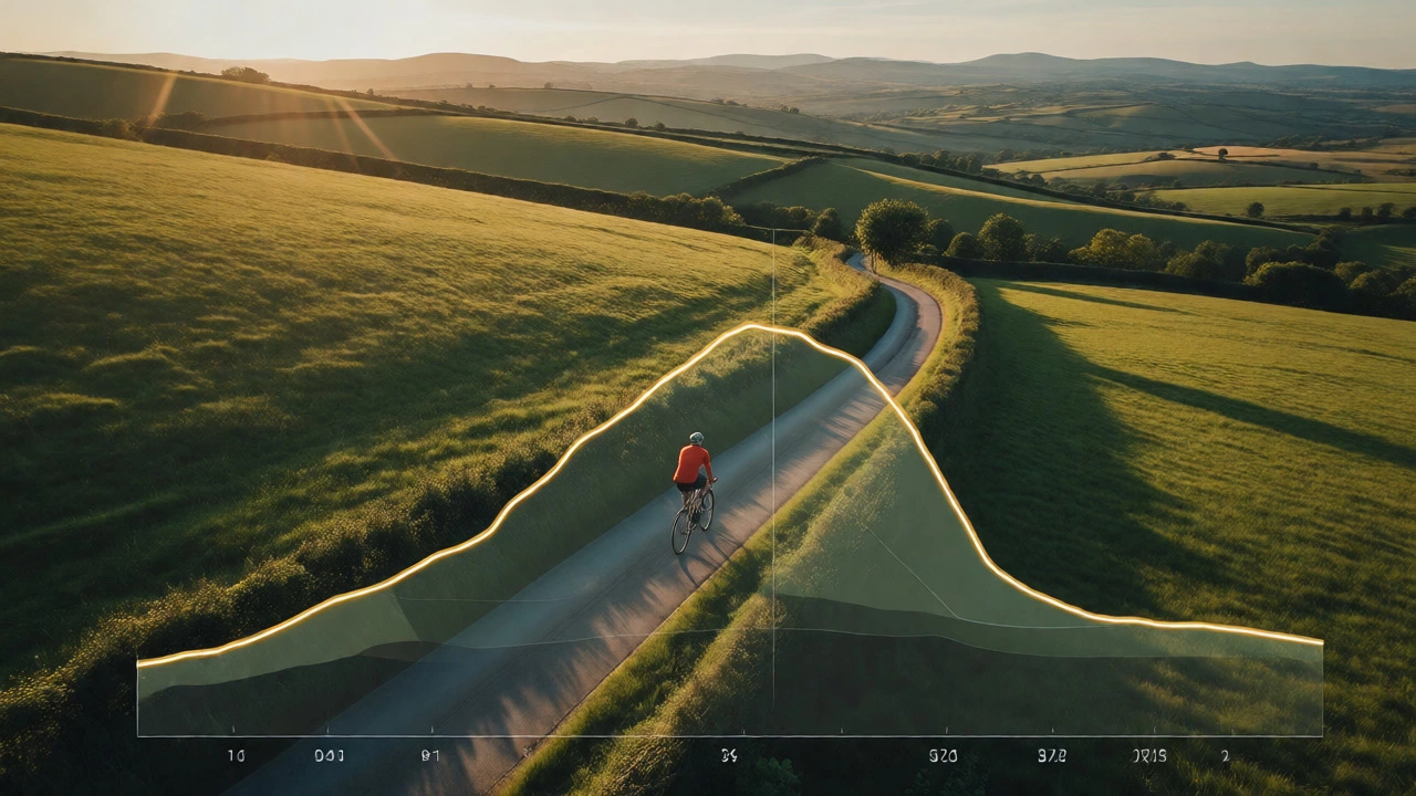
Distance lies. A 10-kilometer ride on a flat promenade feels completely different from a 10-kilometer climb through hills. Google Maps includes an elevation profile, but you have to dig for it. After selecting a route, scroll down below the turn-by-turn instructions. You should see a graph showing height changes along the path.
Look for the total ascent figure. If it says +150m, that’s manageable for most casual riders. If it says +400m, prepare for leg burn. Clicking on the graph allows you to scrub through the route to see exactly where the climbs occur. Is the hill at the beginning? Good, get it over with. Is it at the end when you’re tired? Bad. Use this data to decide if you want to detour around a steep section, even if it adds distance. Sometimes going two kilometers further to stay flat saves more energy than climbing a steep hill.
Customizing Your Waypoints
Direct routes aren’t always the best routes. Maybe you want to pass by a specific park, grab coffee, or avoid a notorious accident blackspot. You can add waypoints. While setting up your route, tap the three-dot menu or the "Add Stop" button. Enter intermediate addresses or landmarks.
This feature is powerful for creating loop rides. Start at home, add a stop at a scenic viewpoint, then return home. Google will calculate the total distance and time for the entire loop. Be aware that adding too many stops can confuse the algorithm, sometimes leading to inefficient zig-zags between points. Keep your waypoints logical. Group them geographically so the route flows naturally rather than jumping back and forth across town.
Offline Planning and Battery Saver
Phone batteries drain quickly with GPS active, especially if you’re using screen brightness high enough to read maps outdoors. If you’re heading into rural areas with poor signal, download your route beforehand. Search for your destination, view the route, and look for the "Download Offline Map" option. Note that full turn-by-turn navigation offline has limitations compared to online use, but basic guidance often works.
A pro tip: take a screenshot of the route overview and the elevation profile before you leave. If your phone dies or loses signal, you still have a visual reference. Also, consider pairing your phone with a dedicated cycle computer if you ride long distances. Google Maps sends data to these devices via Bluetooth, allowing you to keep your phone in your pocket and save battery while still seeing metrics on your handlebars.

Common Pitfalls and Safety Checks
No digital tool is perfect. Google Maps occasionally suggests paths that are technically legal for bikes but practically impossible. I once followed a route that sent me through a pedestrian-only zone in a city center, resulting in angry looks and dismounts. Always check the "Street View" preview if you’re unsure about a specific segment. Zoom in on tricky junctions or narrow alleys. If Street View shows bollards blocking entry, trust your eyes over the algorithm.
Another issue is outdated data. A new bike path might open six months ago, but Google hasn’t updated its routing engine yet. Conversely, a temporary construction site might block a familiar lane. Check local council websites or community cycling forums for recent updates if you’re exploring new areas. Treat Google Maps as a suggestion engine, not a law enforcement officer. You are responsible for navigating safely.
Integrating with Other Apps
While Google Maps is great for planning, it lacks advanced training metrics. If you’re serious about tracking performance, consider exporting your route. Some third-party apps allow you to import GPX files created from Google Maps plans. Alternatively, use Google Maps for the initial idea, then refine the exact path in a specialized cycling app like Komoot or Strava. These platforms offer better surface-type filtering, letting you choose gravel paths over tarmac if you prefer off-road riding.
For daily commutes, Google Maps remains king due to its real-time traffic awareness. Knowing that a main road is gridlocked helps you anticipate driver behavior. Cyclists benefit from predicting car movements, and traffic density data gives you that edge. Just remember to combine this digital intel with situational awareness on the road.
Does Google Maps show bike lanes accurately?
Accuracy varies by location. Major cities like London, Amsterdam, and Copenhagen have highly accurate bike lane data. Smaller towns and rural areas may lack detailed lane information. Always cross-reference with street view if the route seems unsafe.
Can I use Google Maps for mountain biking?
Not ideally. Google Maps prioritizes paved roads and bike-friendly streets. It rarely accounts for single-track trails, technical difficulty, or surface conditions like mud or rocks. For mountain biking, apps like Komoot or Trailforks are superior because they categorize trail difficulty and surface types.
Why does Google Maps suggest walking instead of cycling?
This usually happens if the destination is very close (under 1km) or if the route involves significant pedestrian-only zones. Ensure you have explicitly selected the bicycle icon. If the error persists, try breaking the journey into two segments with a waypoint in between to force a cycling-compatible path.
Is the elevation data reliable?
It is generally reliable for major hills and valleys but can be inaccurate for small undulations. It uses satellite data and known elevation points. For precise training metrics, a dedicated altimeter or GPS watch is more accurate than smartphone-based estimates.
How do I avoid highways in cycling mode?
Cycling mode automatically avoids motorways and expressways where bikes are prohibited. You cannot manually toggle this off in the standard interface. If you need to cross a highway, Google will route you via the nearest bridge or underpass suitable for cyclists.